A Line of Doorsteps: Six Streets You Can Walk from a Census Page
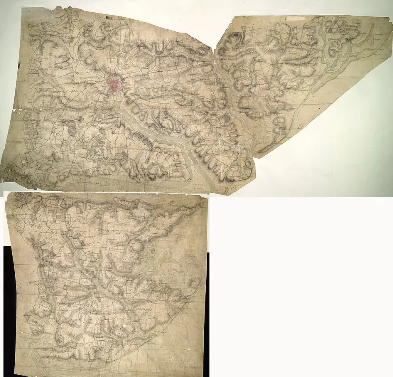
Photo: Verron - Draughtsman, OGL v1.0, via Wikimedia Commons
A census night is easy to imagine as a single frozen moment: doors closed, lamps lit, forms waiting on tables. What the returns actually preserve is a walk. The enumerator moved from house to house, and the schedule numbers in the book usually follow the order of their feet. If you can reconstruct that sequence, you can follow it today.
That is the appeal of what you might call a census walk. It is not a general heritage stroll with a few family names attached. It is a route built from a specific district, a specific street and a specific night. You are trying to see what the enumerator saw, or at least the shape of what remains.
Begin with the district, not the ancestor
It is tempting to start with a name and work outwards. For a walk, start with the place. A census entry will usually give you a piece number, folio and page, plus an enumeration district description. That description may sound dry — ‘part of the parish of X, bounded on the north by the canal’ — but it is the key to the route.
Copy out the schedule numbers in order. Note the street names as they appear, not as they are today. Then look for an old Ordnance Survey map, preferably one close to the census year, and a street directory for the same period. The map shows terraces, yards, schools and pubs that may have vanished. The directory fills in house numbers, trades and the names of streets that have since been renamed.
Do not expect the schedule order to be perfectly logical. Enumerators often walked one side of a street, crossed at the end and came back. Sometimes they doubled back through a yard. Sometimes the book notes ‘end of district’ or refers you to another schedule. Those small remarks are route instructions from the past.
Six streets, six kinds of round
You do not need a famous street. In fact, an ordinary one often works better. Here are six contrasting types of British street where a census route can still be walked, with the clues to look for in each.
1. A mill terrace in the West Riding
Take a street of stone terraces within sound of an old mill. The census may list weavers, overlookers, charwomen and piecers in quick succession. Walk from the top end down, as the schedule numbers suggest, and watch for gaps where a terrace has been cleared. A ginnel or back lane often marks the edge of an enumeration district. Look for the chapel, the school and the corner pub: they appear in the returns as institutions or as the homes of publicans and schoolmasters. The route is short, but the social range can be wide.
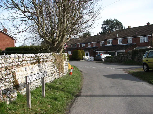
2. A Norfolk village main street
Village streets can be deceptive. A single long road may contain farms, cottages, a blacksmith’s yard, a chapel and a pub, with schedule numbers jumping across gaps and yards. Use the directory to identify the inn and the shop, then compare the census order with the map. Missing cottages are common. So are converted barns. The boundary of the district may follow a parish edge, a stream or the end of the built-up street. Walk slowly at the ends, where the enumerator’s round probably began or finished.
3. A Cardiff dockland street
In port streets, the schedule order can feel crowded: boarding houses, lodgers, sailors, dock labourers, families sharing a front door. Look for the mission hall, the pub and the railway line. Boundaries often follow the rails or the dock edge. Today some terraces have gone and some buildings have changed use. The point is not to find every house but to see how tightly the census night was packed into a few hundred yards. A single schedule number may represent a whole household within a household.
4. A Glasgow tenement close
Here the street is only half the route. The enumerator entered a close, climbed a common stair and worked through the flats. Schedule order may follow the close rather than the pavement. Look for blocked closes, changed numbering and modern door-entry systems. An old map will show the shape of the block; the census shows who was at each address within it. Walk the pavement first, then read the closes as far as public access allows. It is a reminder that a street has a vertical life as well as a horizontal one.
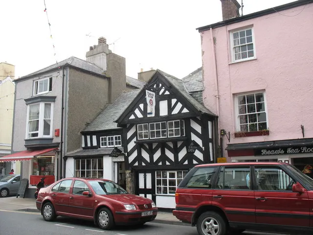
5. A Devon market town street
In a narrow market-town street, the round may zigzag between inns, shops and cottages set behind the frontage. Burgage plots and back lanes can explain why a schedule number seems to disappear into a yard. Look for the market square, the church and the old coaching inn. Street directories are especially useful here because trades change and house names linger. The enumerator’s handwriting may be the most human thing on the page: a smudged occupation, a corrected age, a neighbour’s name inserted in the margin.
6. A London suburban road
Not every census walk is ancient. A road of semi-detached houses near a station may have been new when the return was taken. The schedule order is often straightforward, but the interest lies in the first occupants: commuters, clerks, widows, lodgers, families newly arrived from elsewhere. Compare the census year with the map. Some plots may still be empty; some houses may not yet have numbers. Walk the road today and notice which trees, kerbs and corner shops survive. Suburbia has its own archaeology.
Reading the route on foot
Take the schedule list with you, but do not treat it as a treasure map. House numbers have changed. Streets have been renumbered, renamed or partly demolished. A pub may be a flat; a school may be a nursery; a chapel may be a workshop. Use the list to ask questions rather than to prove exact doorsteps.
Look for boundary marks: a change in terrace style, a back lane, a railway bridge, a parish stone, a sudden gap in the building line. These are the edges of the enumerator’s world. Look, too, for the neighbours who recur across pages. In a small street, the same surnames may appear at several addresses. That is often where family history becomes local history.
And respect the present. Most of these streets are lived in. Walk on the pavement, keep your voice low, do not peer into windows, and save the notebook for a bench or a café. The census is public history; the doorstep is not.
What the round leaves behind
The enumerator was not making a memorial. They were collecting facts on a form, often in a hurry, sometimes in bad weather. Yet the route they walked preserves a kind of neighbourliness: who lived next to whom, who took lodgers, who was away, who had just arrived. When you follow a census route, you are not stepping back into the past. You are walking a line that someone else once walked with a book under their arm.
Choose one street. Copy the schedule order. Find the old map. Then go and stand at the end of the road, and begin.